
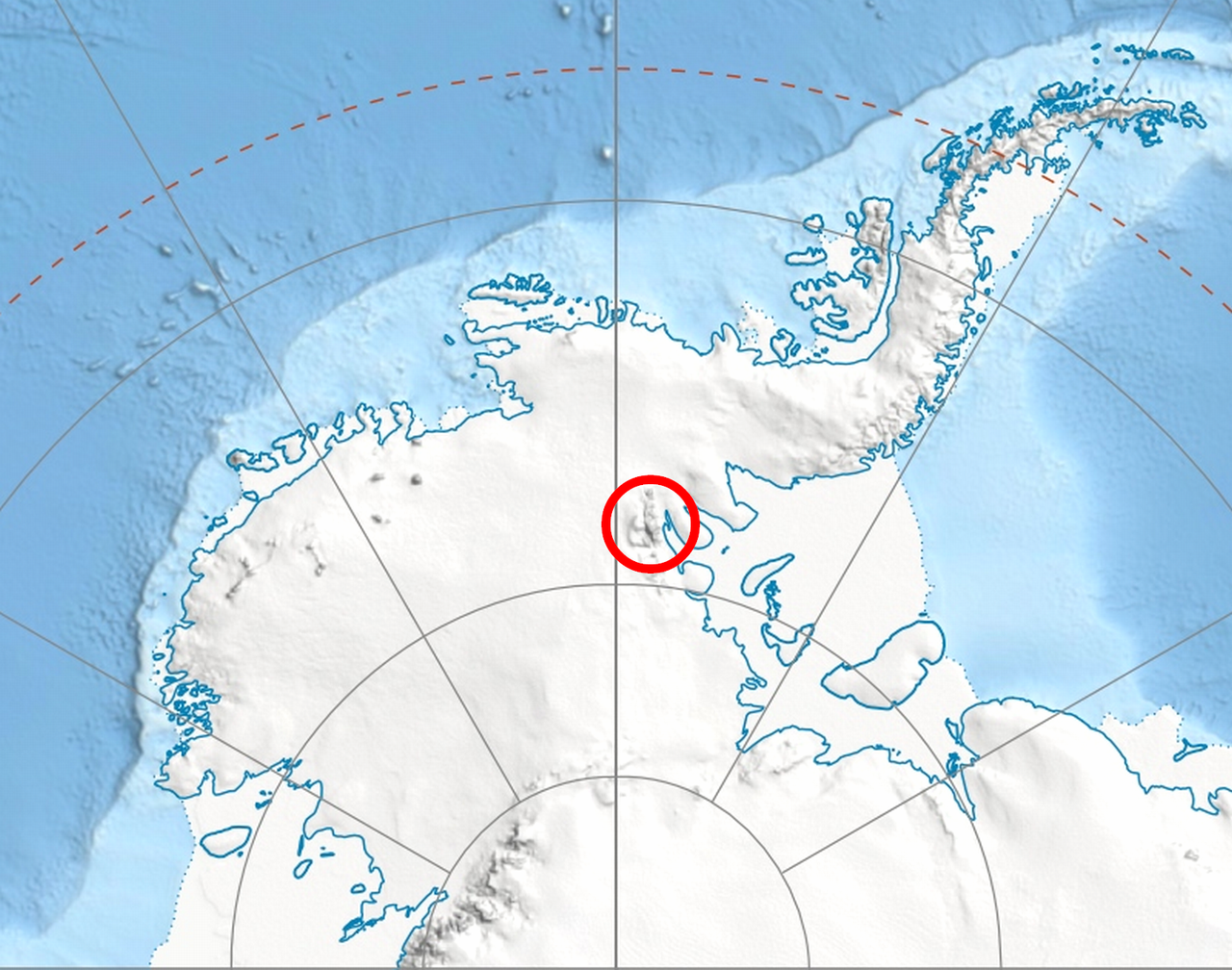
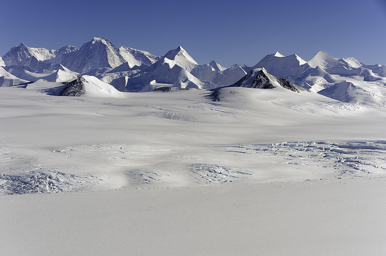
The Sentinel Range is a major mountain range situated northward of Minnesota Glacier and forming the northern half of the Ellsworth Mountains in Antarctica. The range trends NNW-SSE for about 185 km (115 mi) and is 24 to 48 km (15 to 30 mi) wide. Many peaks rise over 4,000 m (13,100 ft) and Vinson Massif (4892 m) in the southern part of the range is the highest elevation on the continent.
Sentinel Range comprises a main ridge (featuring Vinson Massif in its southern portion) and a number of distinct heights, ridges and mountains on its east side, including (south to north) Owen Ridge, Petvar Heights, Doyran Heights, Veregava Ridge, Flowers Hills, Sullivan Heights, Barnes Ridge, Maglenik Heights, Probuda Ridge, Bangey Heights, Sostra Heights and Gromshin Heights. It is separated from Bastien Range to the southwest by Nimitz Glacier, and from Heritage Range to the south by lower Minnesota Glacier.
The range was first sighted and photographed from the air on November 23, 1935, by Lincoln Ellsworth who in naming it recognized its prominent position as a landmark on an otherwise featureless ice surface. The range was first visited and partially surveyed in January 1958 during the Sentinel Mountains Traverse led by Charles R. Bentley. The entire range was subsequently mapped by USGS from aerial photography taken by the U.S. Navy, 1958–61.

Key mountains and peaks
Maps
Vinson Massif. Scale 1:250 000 topographic map. Reston, Virginia: US Geological Survey, 1988.
Newcomer Glacier. Scale 1:250 000 topographic map. Reston, Virginia: US Geological Survey, 1961.
Antarctic Digital Database (ADD). Scale 1:250000 topographic map of Antarctica. Scientific Committee on Antarctic Research (SCAR). Since 1993, regularly updated.

Features
Geographical features include:
Bangey Heights
78°02′30″S 85°34′00″W
Bastien Range
78°50′S 086°00′W
Doyran Heights
78°32′30″S 84°37′00″W
Flowers Hills
78°24′S 84°10′W
Gromshin Heights
77°38′00″S 85°46′00″W
Maglenik Heights
78°10′00″S 85°14′00″W
Owen Ridge
79°50′S 84°50′W
Petvar Heights
78°46′30″S 84°20′20″W

Sostra Heights
77°53′00″S 85°28′00″W
Sullivan Heights
78°19′S 85°3′W
Veregava Ridge
78°26′30″S 84°55′00″W
