Bayi or Chagyib District (巴宜区 or བྲག་ཡིབ་ཆུས།), formerly Nyingchi County, is a District of Nyingchi in the Tibet Autonomous Region, China. Bayi Town, the administrative capital of Nyingchi, is located within the district.
History
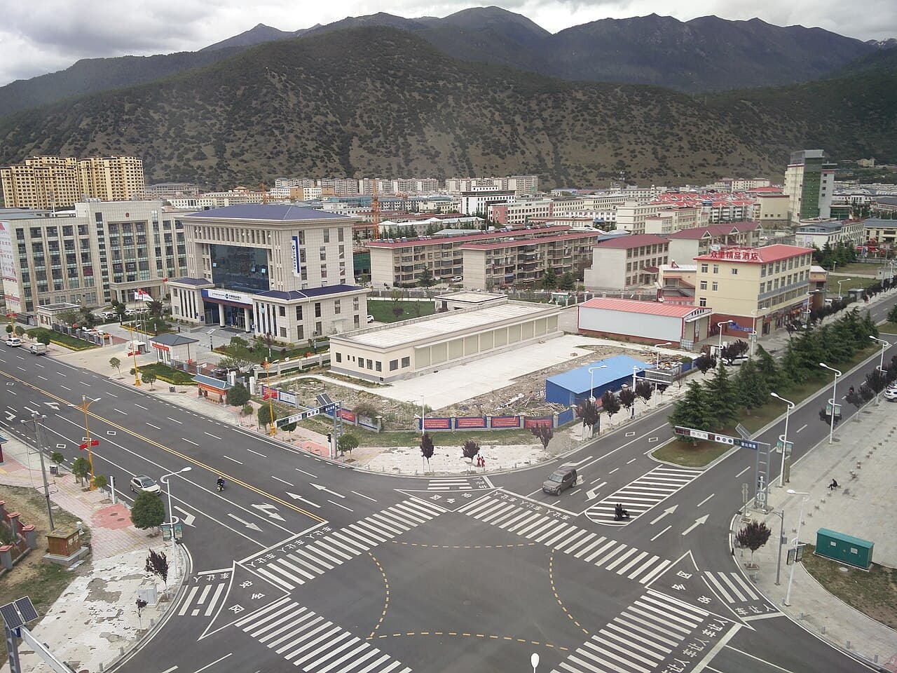
In 1951, modern administrative structures formally integrated the area, initially establishing it as Nyingchi County. In 2015, it was upgraded to a district, adopting the name "Bayi", derived from the district's main urban area, Bayi Town. This town, developed post-1950s, became a key logistical and transportation node due to its strategic position on the Sichuan-Tibet Highway.
Geography
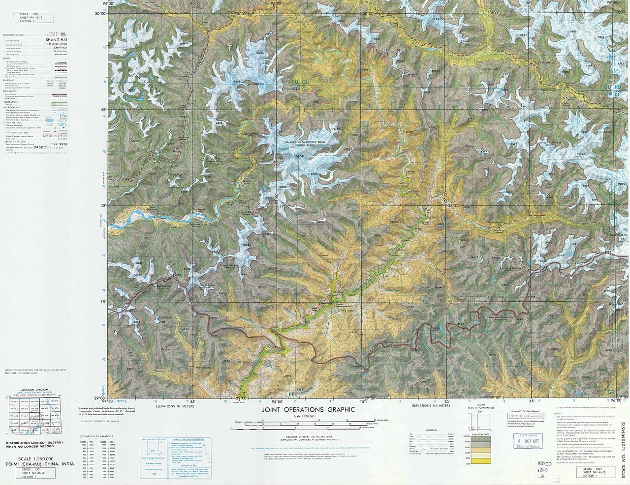
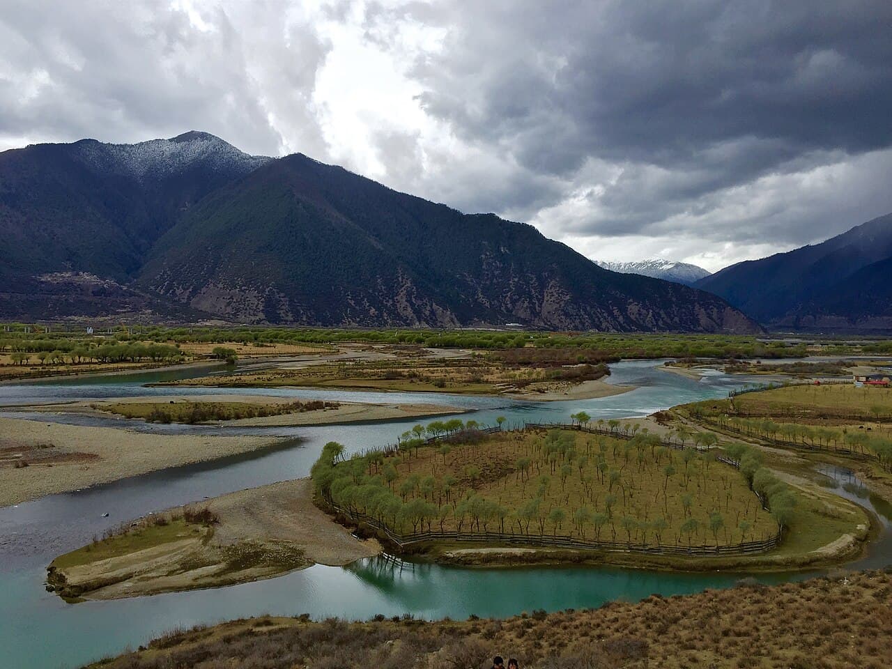
Bayi is located in the middle reaches of the Yarlung Tsangpo River. Both steep cliffs and flat valleys exist in the area. The average altitude is 3000 metres above sea level. "The lowest places are just around 1,000 metres above sea level."
There are many scenic places in or near Bayi. The Seche La Mountain Scenic Spot, in the east of Nyingchi County, is a part of the Nyainqentanglha Mountain Range, the watershed of the Nyang River and the Parlung Tsangpo. The Sichuan-Tibetan Highway passes by. Standing at the mountain pass at 4,728 meters above sea level, one can admire the sunrise, sea of clouds, endless forest and the grand Namjagbarwa Peak.
Güncang township and Pelung Township by the Sichuan-Tibet Highway are home to the Moinba ethnic group.
Administrative divisions
Bayi District contains 2 subdistricts, 4 towns, 2 townships, and 1 ethnic township.